It's easy to forget that Mauritius isn't just a ring of beaches. As soon as you climb above 400 metres the climate changes: the temperature drops five to eight degrees, the air turns humid and forested, and the crowds vanish entirely. In February, when the sand burns by 10am, this is where Mauritians who know the island go.
La Nicolière reservoir is the most accessible example from the north. The ridge road overlooks the lake and the whole plain down to the sea, with shaded spots along the water. Half an hour from Grand Baie, you go from a 31 °C lagoon to a 25 °C forest. There are no shops at all: everything is prepared before you drive up.
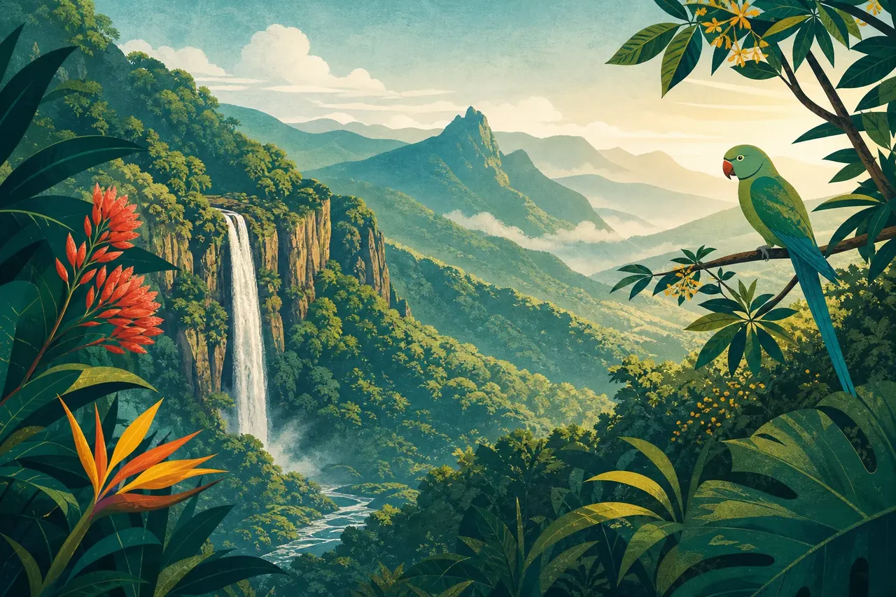
Further south, the Plaine Champagne plateau and the Alexandra Falls viewpoint offer the island's best effort-to-panorama ratio: a few metres from the car park, tables under the trees, and the entire southern plain out to the ocean. You're above 600 metres, it often rains in early afternoon and it gets genuinely cold in the evening — bring a jumper, which is a strange sentence to write about Mauritius.
For a full day, Bras d'Eau National Park in the east combines forest, laid-out tables and short trails, with a quiet beach nearby if the urge for the lagoon returns. Domaine de l'Étoile, further inland, adds rivers and real hiking, but access is paid and supervised.
A word on the weather: the interior gets two to three times more rain than the west coast, and a perfectly clear sky at Flic en Flac can mean continuous drizzle at Plaine Champagne. Check the plateau forecast specifically, not the coastal one, and keep a tarp or a plan B. It's the only real drawback of these spots.